WITEK · Full-time · Jan 2025 — Present
Property map load, cut in half
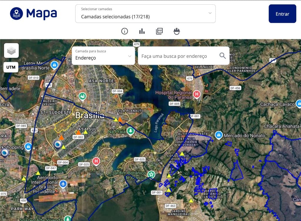
Stability work on a legacy property-map platform used by Brazilian notary offices.
The idea
The map was already in production. The work was to make peak hours survivable: the bottleneck was queries and coordinate handling, not a missing feature.
The situation
Brazilian notary offices were already using the property-map platform. At peak it failed. The codebase was undocumented PHP and JavaScript, so the first job was to find which requests actually hurt.
How it works
A map viewport is a bounding box. If that box is queried the long way, and if coordinates sit in UTM while the client expects WGS84, the page does not just look wrong—it times out.
The idea was to cut the round trips on the critical path and put a conversion in the pipeline so geospatial data stayed consistent instead of being patched in the browser.
What shipped
Critical queries and routes were refactored. Map load time dropped by about half. Peak-time outages stopped being the normal case. The conversion path from UTM to WGS84 is now part of the request, not a local guess.
- 01Client map viewportbbox request
- 02UTM → WGS84 conversionnormalized coords
- 03Refactored critical queriesfewer round trips
- 04Stable peak-time renderoutages removed
- Load time
- ~50%
- Coords
- UTM→WGS84
- Peak
- Stable
The problem
An undocumented PHP and JavaScript codebase was failing at peak time. Map queries and coordinate handling were the bottleneck.
What shipped
Refactored critical queries and routes, cut map load time by about 50%, and added a UTM-to-WGS84 conversion path so geospatial data stayed consistent.